
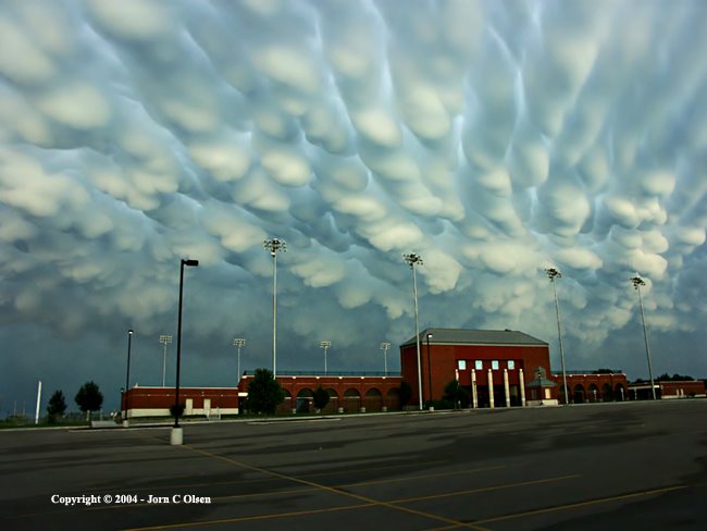
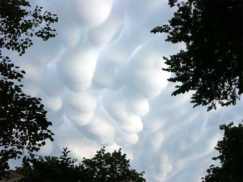
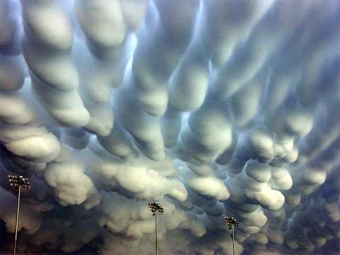
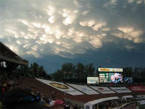
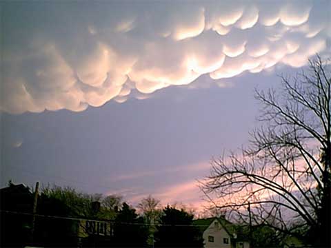
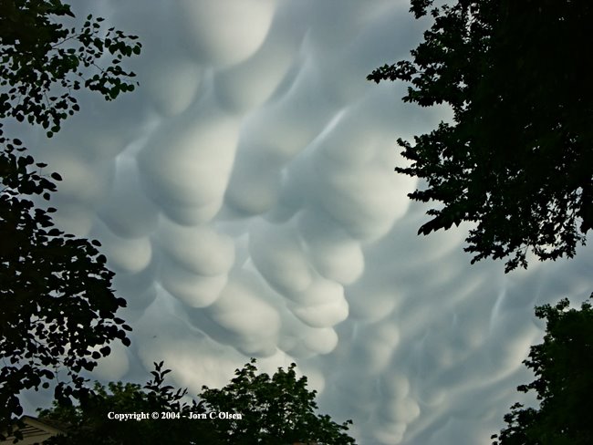
Mammatus only occur where cumulonimbus are present; however, they can drift up to 25 miles away from a thunderstorm. The atmosphere must also meet certain conditions, which include a moist and unstable middle to upper atmosphere over a very dry, lower layer of the atmosphere. An updraft then must occur, which shapes the mammatus into the pouch-like shape.
Most mammatus clouds are formed in the eastern United States during warm months, and rarely on the west coast of the U.S., but can also occur in mountain regions with dry conditions.
Mammatus has often been linked with the occurrence of tornadoes, particularly during the 1950s and 1960s. Though tornadic storms often produce mammatus under their downwind anvil, many weak storms and even stratiform clouds also produce mammatus. Contrary to common misconceptions, mammatus are not precursors to tornadoes, but are a possible byproduct.


Tidak ada komentar:
Posting Komentar